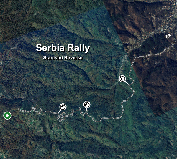
Info tracciato - Serbia Rally Stanisini Reverse (Stanisini Reverse)
Mappa del Tracciato

| Nome completo del tracciato | Serbia Rally Stanisini Reverse |
| Località | Stanišinci, Raški okrug |
| Nazione |  Serbia Serbia |
| Lunghezza | 10.800km |
| Curve | 77 |
| Coordinate GPS | 43.548533 20.899912 |
Records delle fasi
| R5 | 06:25.480 |  S. Fährlich S. Fährlich |
MIN-COU |
Migliori Tappe Auto Private
| Nessuna registrazione |