Info tracciato - Central European Rally Passauer Land (Passauer Land)
Mappa del Tracciato
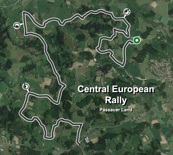
| Nome completo del tracciato | Central European Rally Passauer Land |
| Località | Breitenberg, Passau |
| Nazione |  Germania |
| Lunghezza | 16.370km |
| Curve | 66 |
| Coordinate GPS | 48.712575 13.779849 |
Records delle fasi
| WRC | 10:09.843 |  P. Zatáčka |
TOY-YAR |
| R5 | 10:27.988 |  C. Crash |
HYU-I20 |
Migliori Tappe Auto Private
| Nessuna registrazione |