Info tracciato - Rally of Canterbury Mt. Grey Up (Mt. Grey Up)
Mappa del Tracciato
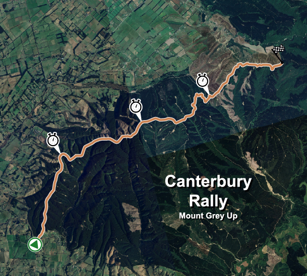
| Nome completo del tracciato | Rally of Canterbury Mt. Grey Up |
| Località | Ashley Forest, Canterbury |
| Nazione |  Nuova Zelanda |
| Lunghezza | 14.090km |
| Curve | 61 |
| Coordinate GPS | -43.242303 172.587876 |
