Info tracciato - Rally of Canterbury Mt. Grey Down (Mt. Grey Down)
Mappa del Tracciato
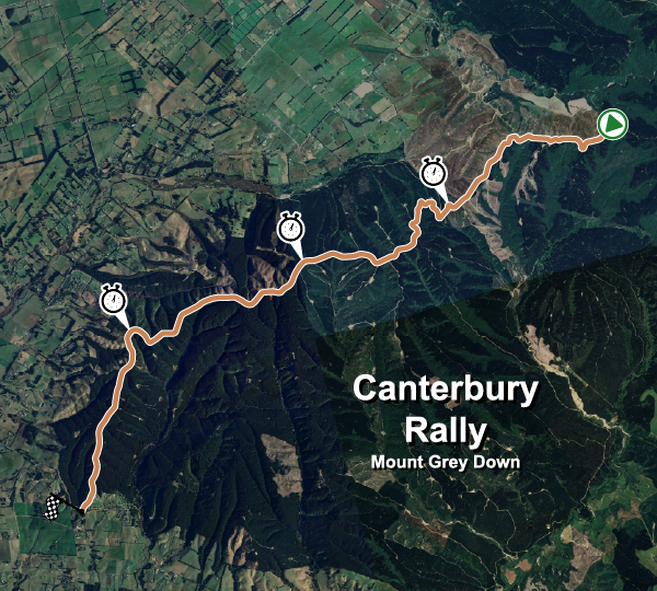
| Nome completo del tracciato | Rally of Canterbury Mt. Grey Down |
| Località | Ashley Forest, Canterbury |
| Nazione |  Nuova Zelanda |
| Lunghezza | 13.830km |
| Curve | 61 |
| Coordinate GPS | -43.148468 172.538266 |
Records delle fasi
| R5 | 08:16.913 |  A. Fiksais  |
FOR-FIE |
Migliori Tappe Auto Private
| Nessuna registrazione |