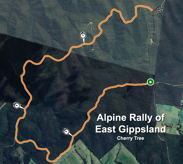
Infos sur le circuit - Alpine Rally of East Gippsland Cherry Tree (Cherry Tree)
Carte de la piste

| Nom complet du circuit | Alpine Rally of East Gippsland Cherry Tree |
| Localisation | Jarrahmond, Victoria |
| Pays |  Australie Australie |
| Longueur | 15.630km |
| Virages | 52 |
| Coordonnées GPS | -37.631448 148.418770 |
Records d'étape
| R5 | 09:38.001 |  A. Rezervists A. Rezervists |
HYU-I20 |
Véhicules privés : meilleures étapes
| Aucun enregistrement |